
| Data and Documentation | Chronology and News | Program Status | Publications | Related Data and Resources | Contact Points |
ICOADS Web information page (Tuesday, 07-Jan-2014 23:57:52 UTC):
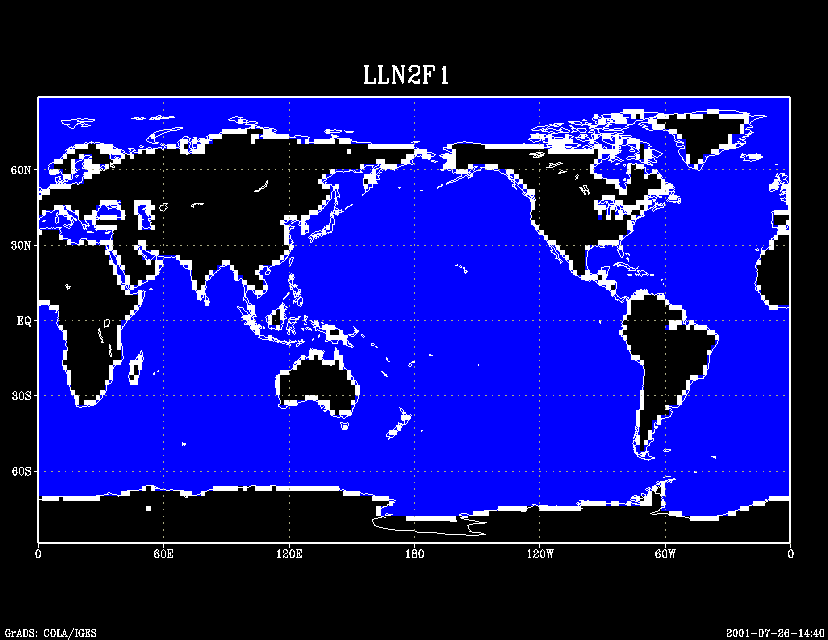
Figure 2. 2° landmask (LLN2F1) created from the Fig. 1 data: black
for land areas, blue for ocean, white for coastal (i.e., when 1-3 of
the four consituent 1° boxes were ocean).
[Links to detailed][Landmask files]
U.S. National Oceanic and Atmospheric Administration hosts the icoads website privacy disclaimer
Document maintained by icoads@noaa.gov
Updated: Jan 7, 2014 23:57:52 UTC
http://icoads.noaa.gov/mask_fig2.html