| Data and Documentation | Chronology and News | Program Status | Publications | Related Data and Resources | Contact Points |
International Comprehensive Ocean-Atmosphere Data Set (ICOADS)
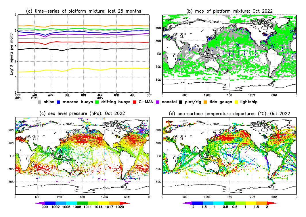
ICOADS Figure 2

Figure 2. Annual distribution (1748-2014) of major platform types in Release 3.0 (and total) shown as reports per year (logarithmic scale). Ships (mainly VOS plus some R/Vs; and prior to ~1888 hidden by the R3.0 curve), buoys, oceanographic, coastal, and tide gauge are self explanatory, Ocean (permanent) Station Vessel = OSV, Coastal-Marine Automated Network = C-MAN, ocean drilling rigs/platforms and other small entities = other, and unidentified platform types = missing (note: most are probably early ship reports).
U.S. National Oceanic and Atmospheric Administration hosts the icoads website privacy disclaimer
Document maintained by icoads@noaa.gov
Updated: Jun 24, 2016 20:16:59 UTC
http://icoads.noaa.gov/index_fig2.html