
| Data and Documentation | Chronology and News | Program Status | Publications | Related Data and Resources | Contact Points |
ICOADS Web information page (Wednesday, 06-May-2009 23:50:39 UTC):
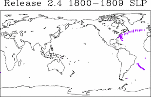
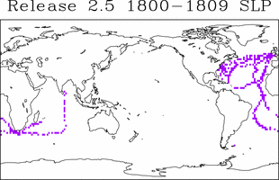
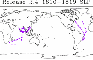
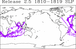
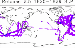
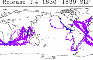
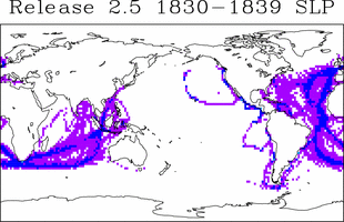
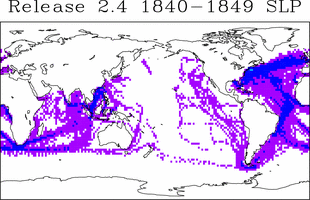
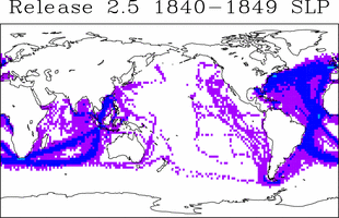
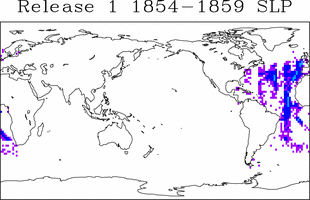
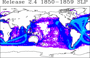
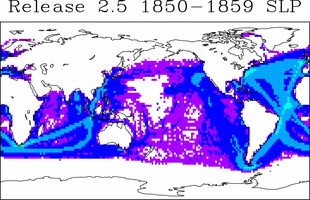
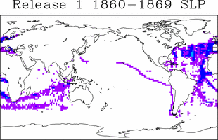
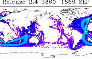
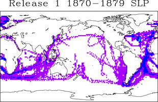
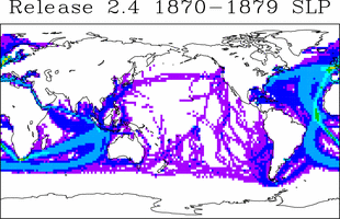
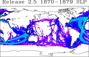
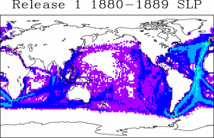
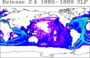
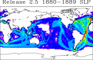
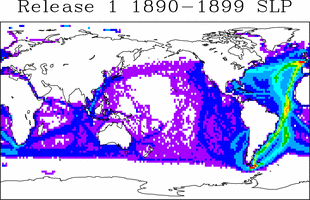
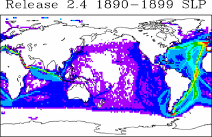
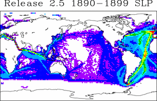
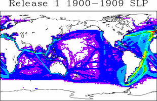
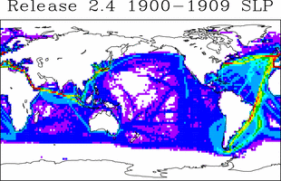
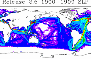
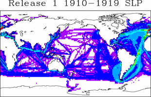
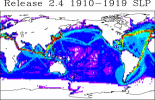
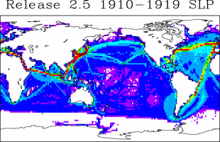
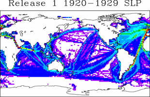
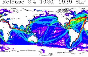
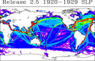
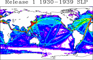
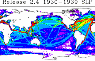
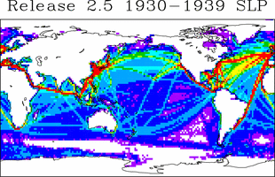
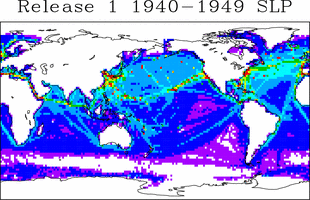
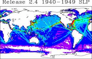
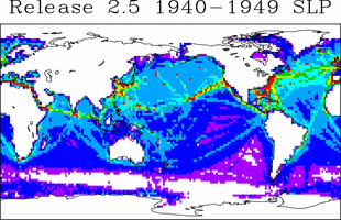
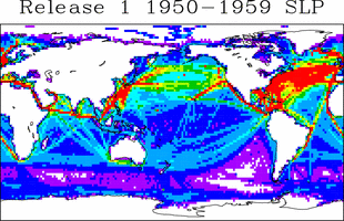
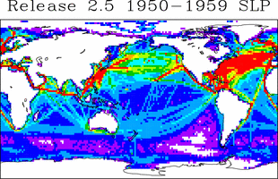
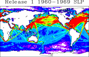
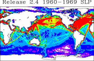
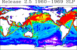
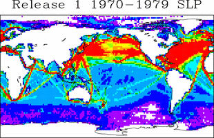
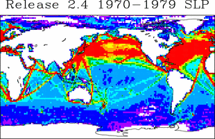
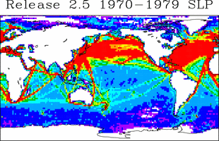
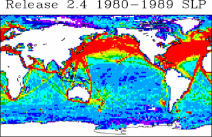
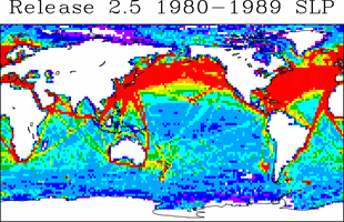
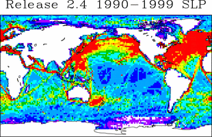
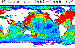
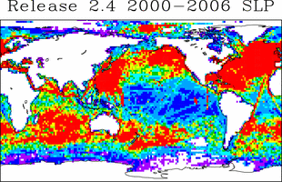
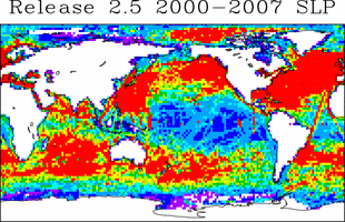
Release 2.5 SLP Coverage Maps
Note: Counts for the three partial decades (1854-59, 2000-06, and 2000-07) were adjusted (/10 x years) to be comparable to the full decades (also the January-May 2007 portion of Release 2.4 was not plotted).
| 
| 
|
| 
| |

| 
| |
| 
| |
| 
| |
| 
| 
|
| 
| 
|
| 
| 
|
| 
| 
|
| 
| 
|
| 
| 
|
| 
| 
|
| 
| 
|
| 
| 
|
| 
| 
|
| 
| 
|
| 
| 
|
| 
| 
|
| 
| |
| 
| |
| 
|
[Documentation and Software][Release 2.5 Data Characteristics]
U.S. National Oceanic and Atmospheric Administration hosts the icoads website privacy disclaimer
Document maintained by icoads@noaa.gov
Updated: May 6, 2009 23:50:39 UTC
http://icoads.noaa.gov/r2.5slp.html